Blog
Robin Radar BVLOS Long range testing
For Robin Radar we have done various BVLOS long range tests with large multicopters and VTOL. For these tests we worked together with ADLC from Antwerp who flew the Phoenix Wings ORCA 10 Km east.
Flying with a mode S ADS-B transponder to be visible for Air Traffic Control, we can have an extended range over sparsely populated area of 15 Km and fly up to 2500 ft (with a separation buffer of 500 ft to the top of the CTR).


HyFly hydrogen powered VTOL drone testing
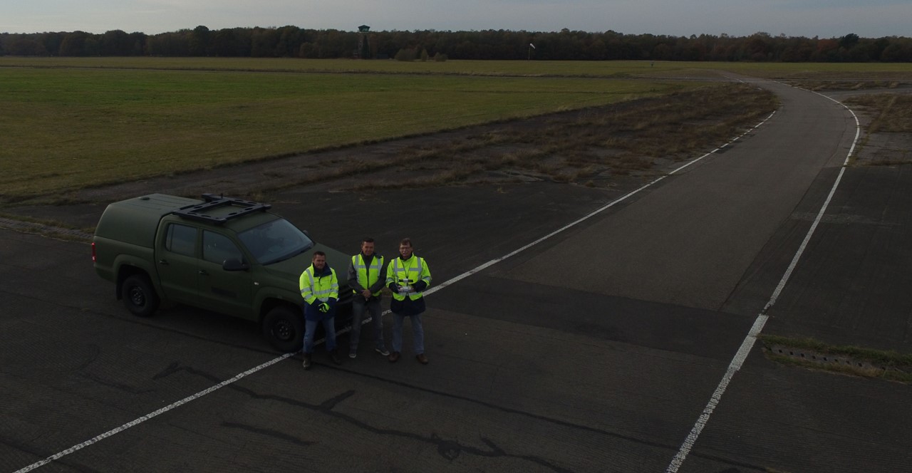
In May and June 2023 HyFly hydrogen powered VTOL drone initial hover testing were conducted at our Dronelab location followed by an initial flight at the Woensdrecht airbase location.
In advance we conducted a technical assessment and safety assessment for the hydrogen power cells which was a requirement from Dutch CAA.
For these experimental flights we use an FTS (Flight Termination System) and parachute to mitigate ground and air risks.


Robin Radar IRIS OTM testing
We have tested Robin Radar IRIS OTM (On The Move) very extensively with various of different drones. From multicopters up to fixed wings and VTOL of different sizes.


Multispectral experiment with Bird Control Unit at test range
Air Force / Bird Control Unit is investigating the possibilities of drones for flight safety and nature conservation.
The Bird Control Unit of Airforce base Woensdrecht and Deelen started an innovative project, using a drone equipped with a multispectral camera in order to map the vegetation next to runway and taxiways. Managing the vegetation phase of grass in this area will make it unattractive for birds to find food and this can contribute to flight safety. Also other vegetation and water close to the runway can be mapped and monitored.
Before the delivery of their own RPAS system the Bird Control Unit started the pilot project with RPAS Services and knowledge institute to gain more insight into the innovative applications of drone images and the complex data processing.
RPAS Services is using a drone equipped with the latest multi-spectrum camera, the Parrot Sequoia. With this camera, it is possible to measure the reflections of vegetation, such as the grass along the runway, in four different frequency bands of visible light to near infrared.
RPAS Services will map a test area on the airfield and process the data with PIX4D which will result in reflectance maps and vegetation indices reports. Grass samples of this test area are analyzed in the laboratory and knowledge institute has analyzed the correlation and condition of the vegetation.
Ultimately, this will make it possible to recognize the various stages of grassland on the landing zone by using drone images. This allows the Airforce quickly and accurately understand the condition of vegetation on the ground, manage this and identify wet bird attracting locations.